Geolocate

Karatha topographic map

Click on the map to display elevation.

About this map

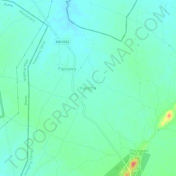
Name: Karatha topographic map, elevation, terrain.

Location: Karatha, Nowgong Tahsil, Chhatarpur, Madhya Pradesh, India (25.22898 79.34038 25.26898 79.38038)

Average elevation: 213 m

Minimum elevation: 199 m

Maximum elevation: 260 m

Gear up for your next adventure:

🔦Powerful LED Headlamps - Hands-free lighting for night navigation and setting up camp after dark
🥤Hydration Packs - Hydration systems for hiking
🩹First Aid Kits - Emergency kits for hiking
🧼Biodegradable Soap - Eco-friendly outdoor soap
🎽Base Layers - Thermal base layers

As an Amazon Associate, this site earns from qualifying purchases at no extra cost to you.