
Jackson County topographic map
Interactive map
Click on the map to display elevation.
About this map
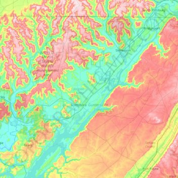
Name: Jackson County topographic map, elevation, terrain.
Location: Jackson County, Alabama, Vereinigte Staaten von Amerika (34.46592 -86.35923 34.99110 -85.58352)
Average elevation: 333 m
Minimum elevation: 171 m
Maximum elevation: 571 m