
Keran topographic map
Interactive map
Click on the map to display elevation.
About this map
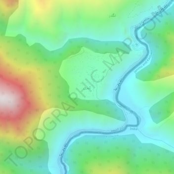
Name: Keran topographic map, elevation, terrain.
Location: Keran, ضلع وادیِ نیلم, Azad Cachemire, Pakistan (34.63776 73.91932 34.67776 73.95932)
Average elevation: 1,880 m
Minimum elevation: 1,473 m
Maximum elevation: 2,870 m