
Pinihuan topographic map
Interactive map
Click on the map to display elevation.
About this map
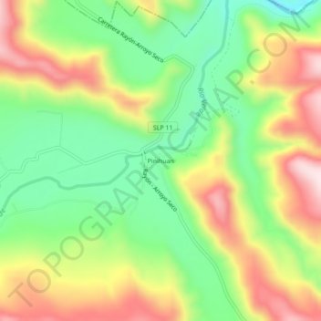
Name: Pinihuan topographic map, elevation, terrain.
Location: Pinihuan, Lagunillas, San Luis Potosí, México (21.69129 -99.59011 21.73129 -99.55011)
Average elevation: 767 m
Minimum elevation: 585 m
Maximum elevation: 995 m