Geolocate

Paringao topographic map

Click on the map to display elevation.

About this map
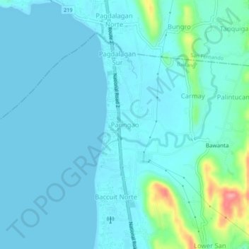
Name: Paringao topographic map, elevation, terrain.

Location: Paringao, Bauang, La Union, Ilocos Region, Philippines (16.54211 120.30373 16.58211 120.34373)

Average elevation: 15 m

Minimum elevation: 0 m

Maximum elevation: 117 m

Gear up for your next adventure:

🍶Collapsible Water Bottles - Save space in your pack as you consume your water supply
🔋Solar Power Banks - Charge your phone and GPS using the sun while deep in the bush
🏃Compression Recovery Socks - Reduce leg fatigue after heavy days of elevation gain
🧣Merino Neck Gaiters - Versatile headwear for warmth, sun protection, or dust filtering
☕Outdoor Coffee Makers - Enjoy quality coffee at the summit of your favorite peak

As an Amazon Associate, this site earns from qualifying purchases at no extra cost to you.