
Chattooga County topographic map
Click on the map to display elevation.
About this map
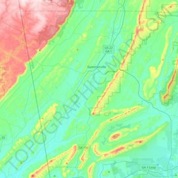
Name: Chattooga County topographic map, elevation, terrain.
Location: Chattooga County, Georgia, United States (34.28561 -85.52726 34.58913 -85.10903)
Average elevation: 275 m
Minimum elevation: 161 m
Maximum elevation: 607 m