
Holly Township topographic map
Interactive map
Click on the map to display elevation.
About this map
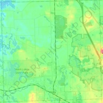
Name: Holly Township topographic map, elevation, terrain.
Location: Holly Township, Oakland County, Michigan, 48442, USA (42.78218 -83.68944 42.87331 -83.56830)
Average elevation: 283 m
Minimum elevation: 252 m
Maximum elevation: 370 m