Geolocate

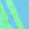
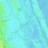
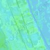
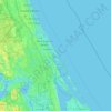
Edgewater topographic map

Click on the map to display elevation.

About this map
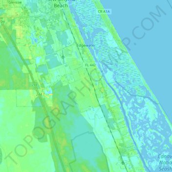
Name: Edgewater topographic map, elevation, terrain.

Location: Edgewater, Volusia County, Florida, United States (28.90124 -81.02414 29.00638 -80.85537)

Average elevation: 4 m

Minimum elevation: -3 m

Maximum elevation: 16 m

Other topographic maps

Click on a map to view its topography, its elevation and its terrain.
Osteen

United States > Florida > Volusia County

Average elevation: 12 m

Tomoka Basin

United States > Florida > Volusia County

Average elevation: 1 m

Kalamazoo

United States > Florida > Volusia County

Average elevation: 7 m

Deltona

United States > Florida > Volusia County > Deltona

Average elevation: 12 m

Mound Grove

United States > Florida > Volusia County

Average elevation: 3 m

Seville

United States > Florida > Volusia County

Average elevation: 13 m

DeLeon Spring

United States > Florida > Volusia County

Average elevation: 12 m

Cassadaga

United States > Florida > Volusia County

Average elevation: 20 m

Louise Lake

United States > Florida > Volusia County > Deltona

Average elevation: 11 m

Osteen

United States > Florida > Volusia County

Average elevation: 12 m

Ariel

United States > Florida > Volusia County > Oak Hill

Average elevation: 3 m

Cedar Island

United States > Florida > Volusia County

Average elevation: 3 m

Barberville

United States > Florida > Volusia County

Average elevation: 12 m

Gear up for your next adventure:

🪢550 Survival Paracord - Versatile cordage for gear repair and emergency lashing
🏫Topographic World Globes - 3D physical relief globes to understand global geography
🧼Biodegradable Soap - Eco-friendly outdoor soap
📕Australia Maps - Maps covering Australian regions
🔭Compact Hiking Binoculars - Lightweight optics for scouting routes or birdwatching

As an Amazon Associate, this site earns from qualifying purchases at no extra cost to you.