Geolocate

Weeley topographic map

Click on the map to display elevation.

About this map
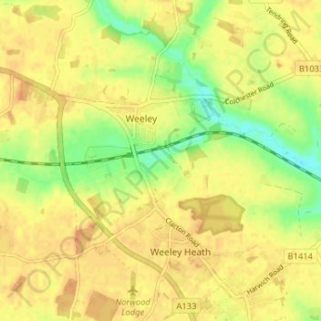
Name: Weeley topographic map, elevation, terrain.

Location: Weeley, Tendring, Essex, England, United Kingdom (51.83586 1.09392 51.86851 1.15862)

Average elevation: 21 m

Minimum elevation: 1 m

Maximum elevation: 31 m

Gear up for your next adventure:

⛺Lightweight Tents - Compact tents for backpacking
⌚Altimeter Barometer Watches - Outdoor watches with built-in sensors to track altitude changes and weather shifts
🧥Packable Rain Jackets - Breathable waterproof layers for unpredictable mountain weather
🛠️Outdoor Repair Kits - Gear repair kits
🧥Thermal Emergency Blankets - Compact Mylar blankets to prevent hypothermia if stranded overnight

As an Amazon Associate, this site earns from qualifying purchases at no extra cost to you.