
Lycksele topographic map
Interactive map
Click on the map to display elevation.
About this map
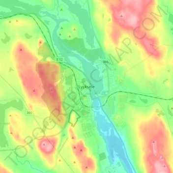
Name: Lycksele topographic map, elevation, terrain.
Location: Lycksele, Comté de Västerbotten, Norrland, 921 31, Suède (64.55586 18.63776 64.63586 18.71776)
Average elevation: 251 m
Minimum elevation: 193 m
Maximum elevation: 336 m