
Koedijk topographic map
Interactive map
Click on the map to display elevation.
About this map
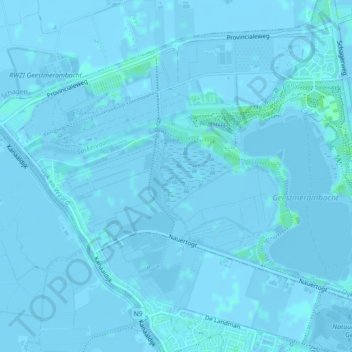
Name: Koedijk topographic map, elevation, terrain.
Location: Koedijk, Langedijk, Noord-Holland, Nederland (52.67771 4.72885 52.69584 4.77251)
Average elevation: 0 m
Minimum elevation: -5 m
Maximum elevation: 5 m
Other topographic maps
Click on a map to view its topography, its elevation and its terrain.
Langedijk
Nederland > Noord-Holland > Langedijk
Langedijk, Noord-Holland, Nederland
Average elevation: 0 m