
Dunrobin topographic map
Interactive map
Click on the map to display elevation.
About this map
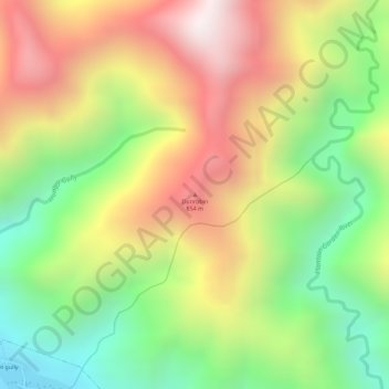
Name: Dunrobin topographic map, elevation, terrain.
Location: Dunrobin, Saint Thomas, Surrey County, Jamaika (17.98109 -76.46640 17.98119 -76.46630)
Average elevation: 539 m
Minimum elevation: 111 m
Maximum elevation: 969 m
Other topographic maps
Click on a map to view its topography, its elevation and its terrain.
Farms
Farms, Benjie Bridge, Blue Mountain, Saint Thomas, Surrey County, Jamaika
Average elevation: 92 m