
Kennedy topographic map
Interactive map
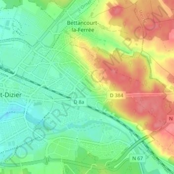
Click on the map to display elevation.
About this map
Name: Kennedy topographic map, elevation, terrain.
Average elevation: 164 m
Minimum elevation: 136 m
Maximum elevation: 206 m
Other topographic maps
Click on a map to view its topography, its elevation and its terrain.
Centre-Ville
France > Grand Est > Haute-Marne > Saint-Dizier
Centre-Ville, Saint-Dizier, Haute-Marne, Grand Est, France métropolitaine, 52100, France
Average elevation: 150 m