
Tobol topographic map
Interactive map
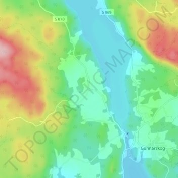
Click on the map to display elevation.
About this map
Name: Tobol topographic map, elevation, terrain.
Location: Tobol, Arvika kommun, Comté de Värmland, Suède (59.80674 12.52381 59.84674 12.56381)
Average elevation: 159 m
Minimum elevation: 95 m
Maximum elevation: 292 m