
Pukura topographic map
Interactive map
Click on the map to display elevation.
About this map
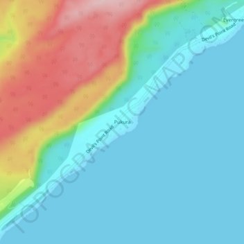
Name: Pukura topographic map, elevation, terrain.
Location: Pukura, Port Vila, Shefa Province, Vanuatu (-17.72273 168.20682 -17.68273 168.24682)
Average elevation: 62 m
Minimum elevation: 0 m
Maximum elevation: 234 m
Other topographic maps
Click on a map to view its topography, its elevation and its terrain.
Cook Reef
Vanuatu > Shefa Province > Port Vila
Cook Reef, Port Vila, Shefa Province, Vanuatu
Average elevation: 0 m