
Moyar topographic map
Interactive map
Click on the map to display elevation.
About this map
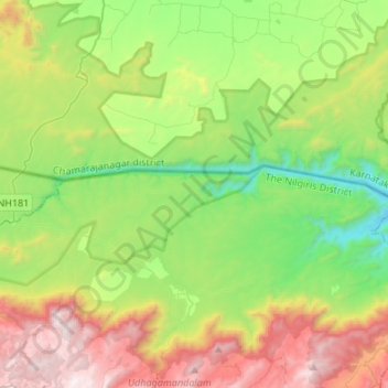
Name: Moyar topographic map, elevation, terrain.
Average elevation: 1,064 m
Minimum elevation: 391 m
Maximum elevation: 2,259 m
Other topographic maps
Click on a map to view its topography, its elevation and its terrain.
Bandipur National Park/Tiger Reserve
India > Karnataka > Gundlupet taluk
Bandipur National Park/Tiger Reserve, Gundlupet taluk, Chamarajanagar District, Karnataka, India
Average elevation: 860 m
Hasaguli
India > Karnataka > Gundlupet taluk
Hasaguli, Gundlupet taluk, Chamarajanagar District, Karnataka, 571109, India
Average elevation: 798 m
Gundlupet
India > Karnataka > Gundlupet taluk
Gundlupet, Gundlupet taluk, Chamarajanagar district, Karnataka, 571111, India
Average elevation: 807 m