
Carney Island topographic map
Interactive map
Click on the map to display elevation.
About this map
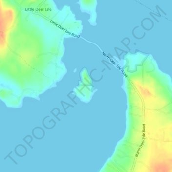
Name: Carney Island topographic map, elevation, terrain.
Average elevation: 7 m
Minimum elevation: 0 m
Maximum elevation: 39 m
Other topographic maps
Click on a map to view its topography, its elevation and its terrain.
The Head
United States > Maine > Hancock County > Deer Isle
The Head, Deer Isle, Hancock County, Maine, United States
Average elevation: 2 m