Geolocate

Three Lakes topographic map

Click on the map to display elevation.

About this map
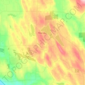
Name: Three Lakes topographic map, elevation, terrain.

Location: Three Lakes, Snohomish County, Washington, United States (47.91210 -122.04500 47.96347 -121.94129)

Average elevation: 137 m

Minimum elevation: -1 m

Maximum elevation: 266 m

Gear up for your next adventure:

👖Convertible Hiking Trousers - Zip-off legs to adapt to changing temperatures throughout the day
⌚Altimeter Barometer Watches - Outdoor watches with built-in sensors to track altitude changes and weather shifts
🌿Flora and Fauna Field Guides - Identify the plants and animals you encounter on your route
🦟Insect Repellent - Protection against insects
🧦Merino Wool Hiking Socks - Moisture-wicking socks to prevent blisters during long topographic surveys

As an Amazon Associate, this site earns from qualifying purchases at no extra cost to you.