
مغراوة topographic map
Interactive map
Click on the map to display elevation.
About this map
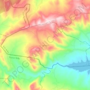
Name: مغراوة topographic map, elevation, terrain.
Location: مغراوة, معتمدية عمدون, Béja, Tunisia (36.76435 8.91125 36.79300 8.97980)
Average elevation: 504 m
Minimum elevation: 282 m
Maximum elevation: 762 m
Other topographic maps
Click on a map to view its topography, its elevation and its terrain.