
Chhairo topographic map
Interactive map
Click on the map to display elevation.
About this map
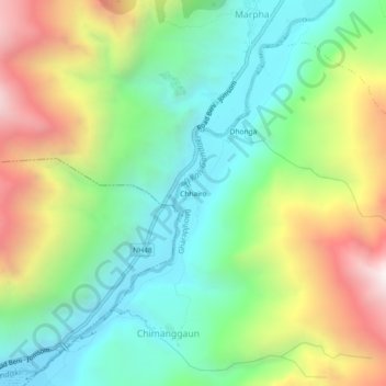
Name: Chhairo topographic map, elevation, terrain.
Location: Chhairo, Marpha, Gharapjhong, मुस्ताङ, Gandaki Pradesh, Népal (28.71330 83.65928 28.75330 83.69928)
Average elevation: 3,105 m
Minimum elevation: 2,595 m
Maximum elevation: 3,996 m