
Launey topographic map
Interactive map
Click on the map to display elevation.
About this map
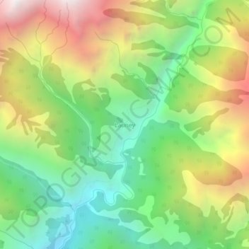
Name: Launey topographic map, elevation, terrain.
Location: Launey, Dahabagar, Bungal, बझाङ, सेती अञ्चल, Népal (29.66230 80.98057 29.70230 81.02057)
Average elevation: 2,961 m
Minimum elevation: 2,116 m
Maximum elevation: 4,188 m