
Leoncio Prado topographic map
Interactive map
Click on the map to display elevation.
About this map
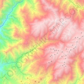
Name: Leoncio Prado topographic map, elevation, terrain.
Location: Leoncio Prado, Huaura, Lima, Pérou (-11.13839 -77.09714 -10.97765 -76.78245)
Average elevation: 3,440 m
Minimum elevation: 1,181 m
Maximum elevation: 5,211 m