
Deepdene topographic map
Interactive map
Click on the map to display elevation.
About this map
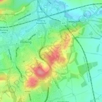
Name: Deepdene topographic map, elevation, terrain.
Average elevation: 73 m
Minimum elevation: 40 m
Maximum elevation: 138 m
Other topographic maps
Click on a map to view its topography, its elevation and its terrain.
Mickleham
United Kingdom > England > Mole Valley > Mickleham
Mickleham, Mole Valley, Surrey, South East, England, RH5 6EE, United Kingdom
Average elevation: 101 m