
Los Teques topographic map
Interactive map
Click on the map to display elevation.
About this map
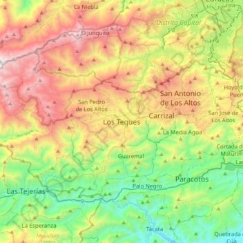
Name: Los Teques topographic map, elevation, terrain.
Average elevation: 1,083 m
Minimum elevation: 270 m
Maximum elevation: 2,340 m
Other topographic maps
Click on a map to view its topography, its elevation and its terrain.
Retorno de La Matica
Venezuela > Miranda > Municipio Guaicaipuro > Los Teques
Retorno de La Matica, Los Nuevos Teques, Centro, Los Teques, Parroquia Los Teques, Municipio Guaicaipuro, Miranda, 1201, Venezuela
Average elevation: 1,180 m