
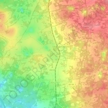
Čabrunići topographic map
Interactive map
Click on the map to display elevation.
About this map
Name: Čabrunići topographic map, elevation, terrain.
Location: Čabrunići, Općina Svetvinčenat, Istria County, Croatia (45.02600 13.83097 45.05318 13.87979)
Average elevation: 224 m
Minimum elevation: 176 m
Maximum elevation: 258 m
Other topographic maps
Click on a map to view its topography, its elevation and its terrain.