
Étang du Dessus topographic map
Interactive map
Click on the map to display elevation.
About this map
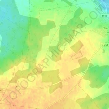
Name: Étang du Dessus topographic map, elevation, terrain.
Average elevation: 139 m
Minimum elevation: 118 m
Maximum elevation: 153 m
Other topographic maps
Click on a map to view its topography, its elevation and its terrain.
Étang de la Héronnière
France > Centre-Val de Loire > Saint-Aignan-le-Jaillard
Étang de la Héronnière, Rue de la Garenne, Le Prieur, Saint-Aignan-le-Jaillard, Orléans, Loiret, Centre-Val de Loire, France métropolitaine, 45600, France
Average elevation: 132 m