
Mengersgereuth-Hämmern topographic map
Interactive map
Click on the map to display elevation.
About this map
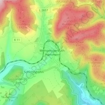
Name: Mengersgereuth-Hämmern topographic map, elevation, terrain.
Average elevation: 548 m
Minimum elevation: 374 m
Maximum elevation: 775 m
Other topographic maps
Click on a map to view its topography, its elevation and its terrain.
Rabenäußig
Deutschland > Thüringen > Landkreis Sonneberg > Frankenblick > Rabenäußig
Rabenäußig, Frankenblick, Landkreis Sonneberg, Thüringen, Deutschland
Average elevation: 556 m