
Tampate topographic map
Interactive map
Click on the map to display elevation.
About this map
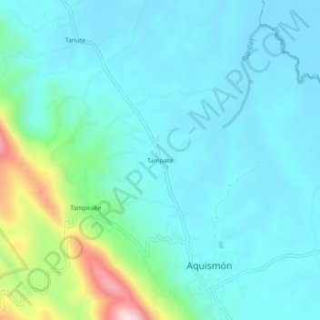
Name: Tampate topographic map, elevation, terrain.
Location: Tampate, Aquismón, San Luis Potosí, México (21.61747 -99.04647 21.65747 -99.00647)
Average elevation: 124 m
Minimum elevation: 49 m
Maximum elevation: 474 m