
Pecos topographic map
Interactive map
Click on the map to display elevation.
About this map
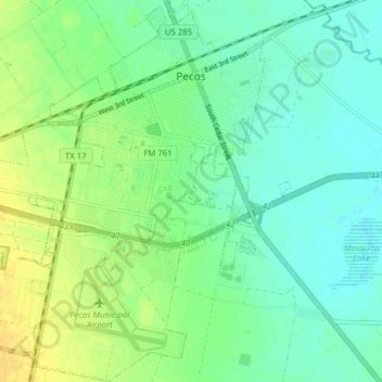
Name: Pecos topographic map, elevation, terrain.
Location: Pecos, Reeves County, Texas, United States (31.37193 -103.53768 31.43876 -103.47474)
Average elevation: 790 m
Minimum elevation: 781 m
Maximum elevation: 803 m
Other topographic maps
Click on a map to view its topography, its elevation and its terrain.
Balmorhea
United States > Texas > Reeves County
Balmorhea, Reeves County, Texas, United States
Average elevation: 974 m