
Wandong topographic map
Interactive map
Click on the map to display elevation.
About this map
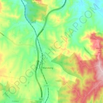
Name: Wandong topographic map, elevation, terrain.
Location: Wandong, Shire of Mitchell, Victoria, 3758, Australia (-37.39052 144.97463 -37.31530 145.07319)
Average elevation: 370 m
Minimum elevation: 265 m
Maximum elevation: 527 m