
Lac Caroline topographic map
Interactive map
Click on the map to display elevation.
About this map
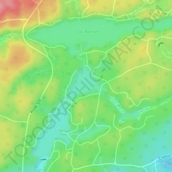
Name: Lac Caroline topographic map, elevation, terrain.
Location: Lac Caroline, Gore, Argenteuil, Laurentides, Québec, Canada (45.77147 -74.24377 45.77627 -74.23744)
Average elevation: 292 m
Minimum elevation: 250 m
Maximum elevation: 354 m
Other topographic maps
Click on a map to view its topography, its elevation and its terrain.
Lakefield
Canada > Québec > Argenteuil > Gore
Lakefield, Gore, Argenteuil, Laurentides, Québec, Canada
Average elevation: 263 m