
Jiuzhaigou topographic map
Interactive map
Click on the map to display elevation.
About this map
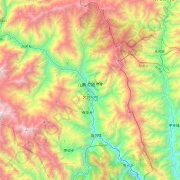
Name: Jiuzhaigou topographic map, elevation, terrain.
Average elevation: 2,520 m
Minimum elevation: 1,182 m
Maximum elevation: 4,352 m
The county consists of nine villages in a valley in Sichuan Province. The main ethnic group in the county is Han, with the second being Tibetan. The county seat has an altitude of about 1,400 m (4,600 ft). It has a total area of 2,041 square miles (5,286 km2). As of 2015, the county's total population was 67,519.