
Mount Livingstone topographic map
Interactive map
Click on the map to display elevation.
About this map
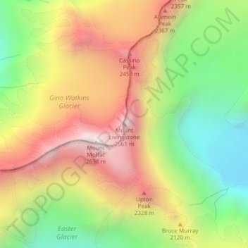
Name: Mount Livingstone topographic map, elevation, terrain.
Average elevation: 1,945 m
Minimum elevation: 1,309 m
Maximum elevation: 2,618 m
Other topographic maps
Click on a map to view its topography, its elevation and its terrain.
Alpine Tarn
New Zealand > Canterbury > Mackenzie District
Alpine Tarn, Mackenzie District, Canterbury, New Zealand
Average elevation: 1,088 m