
سيلت topographic map
Interactive map
Click on the map to display elevation.
About this map
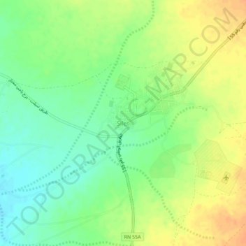
Name: سيلت topographic map, elevation, terrain.
Location: سيلت, Daïra d'Abalessa, Tamanrasset, Algérie (22.63724 4.54952 22.67724 4.58952)
Average elevation: 752 m
Minimum elevation: 735 m
Maximum elevation: 769 m