
Wilhelmsthal topographic map
Interactive map
Click on the map to display elevation.
About this map
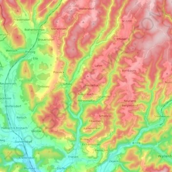
Name: Wilhelmsthal topographic map, elevation, terrain.
Location: Wilhelmsthal, Landkreis Kronach, Bayern, 96352, Deutschland (50.25727 11.33079 50.38539 11.43713)
Average elevation: 481 m
Minimum elevation: 311 m
Maximum elevation: 658 m