
Lengefeld topographic map
Interactive map
Click on the map to display elevation.
About this map
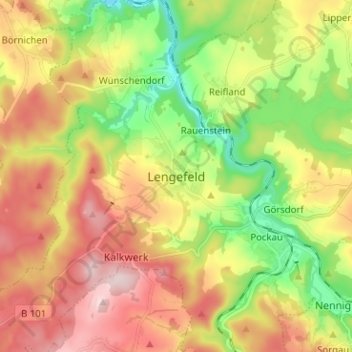
Name: Lengefeld topographic map, elevation, terrain.
Location: Lengefeld, Erzgebirgskreis, Sachsen, 09514, Deutschland (50.67930 13.15279 50.75930 13.23279)
Average elevation: 508 m
Minimum elevation: 349 m
Maximum elevation: 685 m