
Sils topographic map
Interactive map
Click on the map to display elevation.
About this map
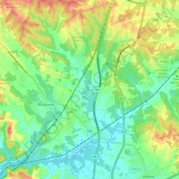
Name: Sils topographic map, elevation, terrain.
Location: Sils, Selva, Girona, Katalonien, 17410, Spanien (41.78770 2.70040 41.86978 2.78473)
Average elevation: 101 m
Minimum elevation: 64 m
Maximum elevation: 169 m