
Pleasant Valley topographic map
Interactive map
Click on the map to display elevation.
About this map
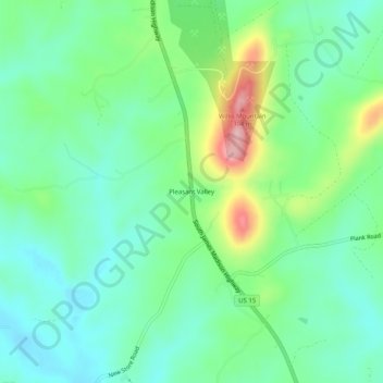
Name: Pleasant Valley topographic map, elevation, terrain.
Location: Pleasant Valley, Buckingham County, Virginia, United States (37.44793 -78.49028 37.48793 -78.45028)
Average elevation: 167 m
Minimum elevation: 108 m
Maximum elevation: 312 m