
Joyner topographic map
Interactive map
Click on the map to display elevation.
About this map
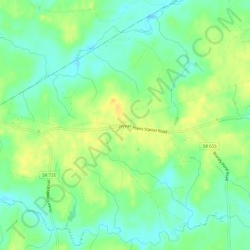
Name: Joyner topographic map, elevation, terrain.
Location: Joyner, Southampton County, Virginia, United States (36.75932 -77.27164 36.79932 -77.23164)
Average elevation: 25 m
Minimum elevation: 12 m
Maximum elevation: 40 m