
Moquegua topographic map
Interactive map
Click on the map to display elevation.
About this map
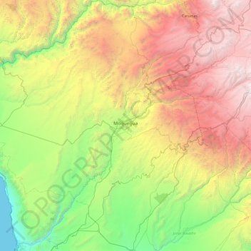
Name: Moquegua topographic map, elevation, terrain.
Location: Moquegua, Provincia de Mariscal Nieto, Moquegua, Perú (-17.64946 -71.44096 -16.75336 -70.57251)
Average elevation: 2,080 m
Minimum elevation: 0 m
Maximum elevation: 5,473 m
Other topographic maps
Click on a map to view its topography, its elevation and its terrain.
Alto de La Villa
Alto de La Villa, Moquegua, Mariscal Nieto, Moquegua, 18001, Perú
Average elevation: 1,457 m