
Lile topographic map
Interactive map
Click on the map to display elevation.
About this map
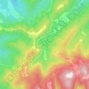
Name: Lile topographic map, elevation, terrain.
Location: Lile, Greenbrier County, West Virginia, Verenigde Staten (38.10706 -80.63981 38.14706 -80.59981)
Average elevation: 1,016 m
Minimum elevation: 806 m
Maximum elevation: 1,260 m