
Forest Land topographic map
Interactive map
Click on the map to display elevation.
About this map
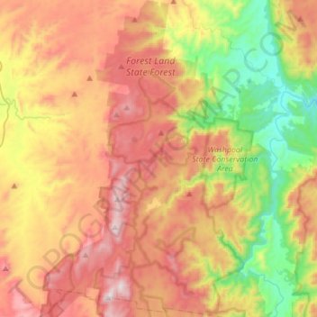
Name: Forest Land topographic map, elevation, terrain.
Average elevation: 857 m
Minimum elevation: 313 m
Maximum elevation: 1,454 m
Other topographic maps
Click on a map to view its topography, its elevation and its terrain.
Forest Land
Australia > New South Wales > Forest Land
Forest Land, Tenterfield Shire Council, New South Wales, Australia
Average elevation: 1,040 m