
Mera Peak topographic map
Interactive map
Click on the map to display elevation.
About this map
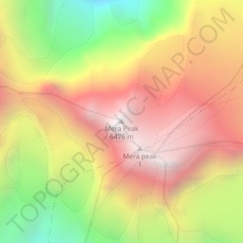
Name: Mera Peak topographic map, elevation, terrain.
Location: Mera Peak, Bung, Mahakulung, Solukhumbu, Province n°1, Népal (27.70979 86.86861 27.70989 86.86871)
Average elevation: 5,709 m
Minimum elevation: 4,779 m
Maximum elevation: 6,450 m