
San Jacinto topographic map
Interactive map
Click on the map to display elevation.
About this map
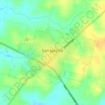
Name: San Jacinto topographic map, elevation, terrain.
Location: San Jacinto, Canelones, 91300, Uruguay (-34.55249 -55.88577 -34.53594 -55.85776)
Average elevation: 51 m
Minimum elevation: 35 m
Maximum elevation: 69 m