
Mill Creek topographic map
Interactive map
Click on the map to display elevation.
About this map
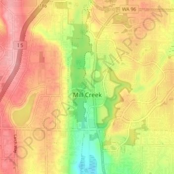
Name: Mill Creek topographic map, elevation, terrain.
Location: Mill Creek, Snohomish County, Washington, United States (47.83870 -122.22797 47.88037 -122.16594)
Average elevation: 130 m
Minimum elevation: 62 m
Maximum elevation: 178 m
Other topographic maps
Click on a map to view its topography, its elevation and its terrain.