
Besisahar topographic map
Interactive map
Click on the map to display elevation.
About this map
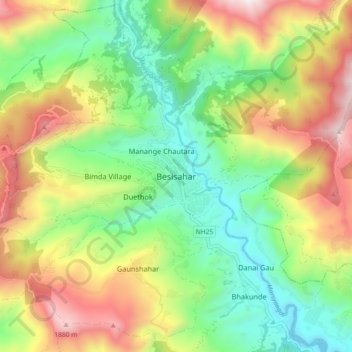
Name: Besisahar topographic map, elevation, terrain.
Location: Besisahar, Besishahar, लमजुङ, Gandaki, 33600, Népal (28.19132 84.33614 28.27132 84.41614)
Average elevation: 1,163 m
Minimum elevation: 618 m
Maximum elevation: 1,981 m