
Darechok topographic map
Interactive map
Click on the map to display elevation.
About this map
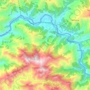
Name: Darechok topographic map, elevation, terrain.
Location: Darechok, Ichchhakamana, चितवन, Bagmati, Népal (27.81616 84.55685 27.88088 84.66513)
Average elevation: 844 m
Minimum elevation: 235 m
Maximum elevation: 1,856 m