
Reedy Marsh topographic map
Interactive map
Click on the map to display elevation.
About this map
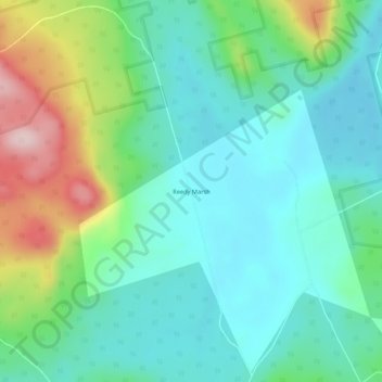
Name: Reedy Marsh topographic map, elevation, terrain.
Location: Reedy Marsh, Tasmania, Australia (-41.47107 146.68117 -41.43107 146.72117)
Average elevation: 290 m
Minimum elevation: 212 m
Maximum elevation: 501 m
Other topographic maps
Click on a map to view its topography, its elevation and its terrain.
Reedy Marsh
Australia > Tasmania > Reedy Marsh
Reedy Marsh, Meander Valley, Tasmania, Australia
Average elevation: 278 m