
Buahan topographic map
Interactive map
Click on the map to display elevation.
About this map
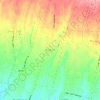
Name: Buahan topographic map, elevation, terrain.
Location: Buahan, Tabanan, Bali, Lesser Sunda Islands, Indonesia (-8.51628 115.12950 -8.47628 115.16950)
Average elevation: 206 m
Minimum elevation: 148 m
Maximum elevation: 265 m