
Mulakunnathukavu topographic map
Interactive map
Click on the map to display elevation.
About this map
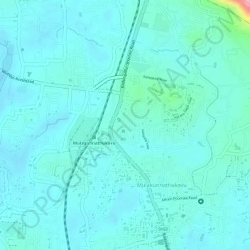
Name: Mulakunnathukavu topographic map, elevation, terrain.
Location: Mulakunnathukavu, Thrissur, Thrissur District, Kerala, India (10.59304 76.20734 10.60099 76.21446)
Average elevation: 23 m
Minimum elevation: 4 m
Maximum elevation: 131 m